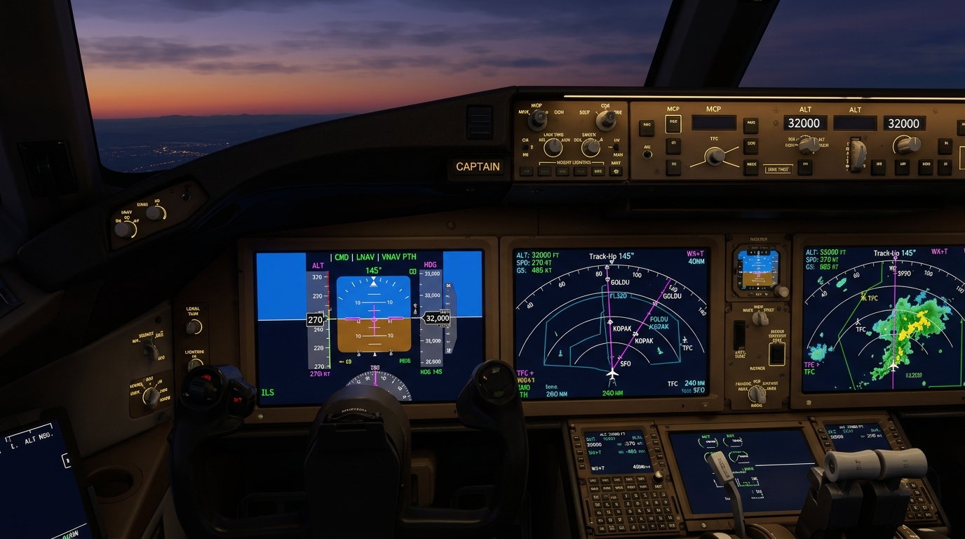
Introduction: The Majestic and Treacherous Rockies
To the airline passenger gazing out the window at Flight Level 370, the Canadian Rocky Mountains are a breathtaking vista of jagged snow-capped granite spires, pristine glacial valleys, and azure alpine lakes stretching across the continental divide between Alberta and British Columbia.
To the airline captain and flight dispatcher planning a transcontinental flight between Calgary (YYC) or Edmonton and Vancouver (YVR), the Rockies represent a high-stakes aerodynamic obstacle course. Traversing the mountain spine requires precise mastery of orographic weather phenomena, high-altitude engine-out drift-down trajectories, mountain wave turbulence mitigation, and satellite-guided Required Navigation Performance (RNP) approach paths. Real-time arrival vectors for these mountainous gateways can be tracked on our live Canadian arrivals board.
---
The Aerodynamics of Mountain Wave Turbulence
One of the most dangerous atmospheric hazards encountered across western Canadian airspace is **Mountain Wave Turbulence (Orographic Wave)**.
When strong westerly jet stream winds (often exceeding 60 to 100 knots at peak altitude) strike the steep perpendicular wall of the Rocky Mountain massif, the air mass is forcefully shoved upward. As the air cools and crests the ridge line, it cascades down the leeward (eastern) slope like water plunging over a submerged boulder in a rushing river:
``` Wind Direction (60+ kts) ---> [ Rocky Mountain Ridge ] | v Down-Draft (Rotor Zone) | Wave 1 Wave 2 Wave 3 (Up to 60,000 ft!) ```
The Physics of the Wave: 1. **Vertical Airspeeds:** Mountain waves can produce violent vertical currents exceeding 3,000 to 5,000 feet per minute (both updrafts and downdrafts), capable of overpowering an airliner's autopilot pitch authority. 2. **Resonant Propagation:** Unlike standard boundary turbulence which dissipates near the ground, mountain waves propagate upward into the stratosphere, frequently reaching Flight Level 500 (50,000+ feet)—well above commercial airliner cruising ceilings. 3. **The Hidden Killer: Clear-Air Rotors:** While mountain waves are occasionally marked by beautiful lens-shaped **Lenticular Clouds** (Altocumulus lenticularis) hovering stationary over mountain crests, dry air masses often lack sufficient moisture to condense into clouds. Aircraft can strike severe, bone-jarring Clear-Air Turbulence (CAT) with zero visual warning. For a full meteorological breakdown of this phenomenon, study our [high-altitude clear-air turbulence analysis](/articles/mountain-wave-clear-air-turbulence-canadian-airspace-meteorology).
---
Flight Deck Mitigation: Managing the Airspeed Margin
In a modern glass cockpit, encountering severe mountain wave turbulence demands immediate, counter-intuitive pilot action:
1. Transitioning to Turbulence Penetration Speed (Vb) Pilots do not speed up or slow down excessively. Modern jet airliners operate at cruise altitudes in a narrow flight envelope famously called "Coffin Corner"—the narrow airspeed window between low-speed aerodynamic stall and high-speed Mach tuck buffet. - Flight crews immediately decelerate to certified **Turbulence Penetration Speed** (typically 270 to 290 knots indicated airspeed, or Mach 0.78 to 0.82 depending on aircraft weight). - This speed provides maximum structural safety margin: slow enough to prevent catastrophic aerodynamic load factor damage if a 50-foot-per-second vertical gust strikes, yet fast enough to prevent high-altitude stall.
2. Disengaging Altitude Hold Modes Flying on autopilot with strict Altitude Hold (ALT HOLD) engaged during severe mountain wave activity is hazardous. If the aircraft enters a violent 4,000 fpm updraft, the autopilot will aggressively push the control yoke forward and trim nose-down to fight the altitude change, causing airspeed to spike dangerously toward the red-striped Maximum Operating Limit (Vmo/Mmo). - Standard operating procedure mandates switching the autopilot to **Pitch Mode (PITCH)** or hand-flying. - Pilots allow the aircraft to "ride the wave," accepting temporary altitude variations of 500 to 1,500 feet while keeping attitude and pitch angle stable, immediately notifying Air Traffic Control (ATC) of the altitude deviation.
---
Precision Valley Approaches: Required Navigation Performance (RNP-AR)
Landing at interior mountain airports in British Columbia—such as Kelowna (YLW), Castlegar (YCG), or Penticton (YYF)—previously required pristine cloudless weather due to high surrounding mountain peaks that block conventional terrestrial ILS radio beams.
Today, Canadian aviation leads the world in **Required Navigation Performance with Authorization Required (RNP-AR)**: - **0.1 Nautical Mile Precision:** Using multi-channel GPS augmented by inertial reference units (IRU), the aircraft's Flight Management Computer guarantees its position within 0.1 nautical miles (roughly 600 feet) 99.999% of the flight time. - **Curved Precision Paths:** RNP-AR allows airliners like the Airbus A220-300 to fly smooth, curved descending trajectories around granite mountain walls, dropping down through cloud layers inside narrow valleys where no straight-in approach was ever possible.
---
Emergency Decompression and Engine-Out Escape Routes
Perhaps the most critical flight planning document prepared by airline dispatchers for Rocky Mountain routes is the **Oxygen Decompression and Engine-Out Escape Route Chart**.
Standard emergency procedures dictate that if an aircraft suffers sudden cabin depressurization at 38,000 feet, the pilots must don oxygen masks and initiate an emergency descent to 10,000 feet, where the outside air is breathable without supplemental oxygen.
**The Rocky Mountain Dilemma:** Along many airway segments between Calgary and Vancouver, the mountain terrain altitude exceeds 11,000 to 14,000 feet! An immediate emergency descent to 10,000 feet would fly the aircraft directly into a mountain peak. - **Escape Route Waypoints:** Dispatchers calculate designated escape corridors down valleys. If depressurization occurs over the divide, the flight crew follows a pre-programmed EFB lateral diversion route toward Kelowna or Kamloops, maintaining 14,000 feet while cabin passenger oxygen flows, only descending below 10,000 feet once clear of mountain obstacles. - **Drift-Down Trajectories:** If an airliner loses an engine over the Rockies at high gross weight, it cannot maintain cruise altitude on one engine. Pre-calculated drift-down speeds ensure the aircraft gently glides downward along guaranteed obstacle-clear corridors until reaching single-engine level-off altitude.
Understanding these cockpit and dispatch protocols reveals the invisible shield of safety engineered into every commercial flight crossing the magnificent Canadian Rockies.